Trees as indicators of erosion

We are all familiar with the idea of coastal erosion, houses near the cliff edge or situated on sandy dunes fall away as the shore is battered by high tides and fierce winds - this has been seen most recently at Hemsby in Norfolk; sometimes whole communities disappear into the sea (think Dunwich). Many areas of the East Anglian coast have been and are subject to the ravages of the sea.
River erosion occurs on the outer edge of a bend, where the water flows faster; the creation of ox-bow lakes from a meandering river will have featured in many people’s geography education.
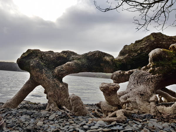
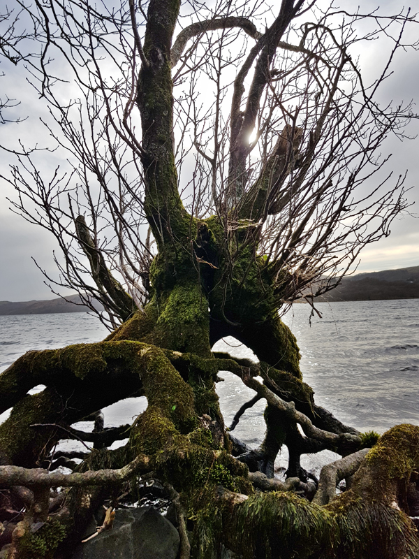
At the edge of Coniston Water in the Lake District, however, I recently discovered that erosion around the lake can also be quite significant. Whether this is due to the direction of prevailing winds creating small waves, or run-off from the land, or possibly the effect of the wash from boats is not immediately obvious.
However, there is evidence in the trees that line the eastern bank of Coniston Water. Over recent decades, the banks have been eroded so far that not only has the nearby road had to be stabilised by the use of stone-filled wire blocks, but tree roots have been exposed. They now stand well above the level of the stony beach.
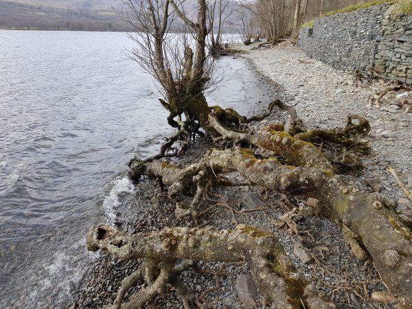 The more mature trees roadside do not give too many clues about the speed of the process, but the smaller younger trees that are now right at the waters edge suggest that this has been a fairly rapid process.
Comments are closed for this post.